| ©The Archaeological Settlements of Turkey - TAY Project | ||||||
|
|
||||||
Çavuslu Höyük |
||||||
|
|
||||||
| Ages | Maps | Photos | ||||
| Neolithic EBA IA |
 |
 |
||||
|
|
||||||
|
Type:
|
Mound | |||||
|
Altitude:
|
185 m | |||||
|
Diameter:
|
m- Direction: | |||||
|
|
||||||
|
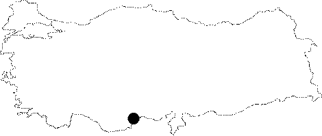
Region:
|
Mediterranean | |||||
|
Province:
|
Mersin | |||||
|
District:
|
Merkez | |||||
|
Village:
|
Toroslar | |||||
|
|
||||||
|
Destruction :
|
Contemporary Settlements - Attention | |||||
|
|
||||||
|
TAYEx:
|
Visited - 13/7/2001 | |||||
|
|
||||||
|
Registration State:
|
For detailed registration information please refer to Turkish pages. | |||||
 |
||||||
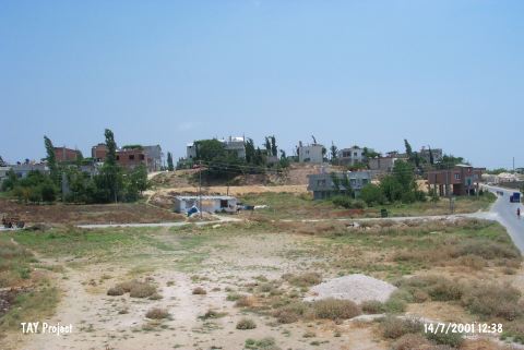
| Location: The site of Çavuslu lies at the 2007 th Street of the municipality Toroslar (Çavuslu); 6 km north-northwest of the city of Mersin. |
| Geography and Environment: The mound lies 5-6 m above a sloping plain; west of Çavuslu Stream. The diameter of the mound has not been provided. It has not been reported whether there is a water source nearby. |
| Destruction Details: The mound is completely vanished; except the small eastern part that remained under the houses. It has been leveled during the road construction carried out by the municipality [TAYEx 13.7.2001]. |