|
©The Archaeological Settlements of Turkey - TAY Project
|
|
|
|
|
|
Çavuslu Höyük |
|
|
For site maps and drawings please click on the picture... 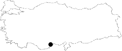 |
For photographs please click on the photo... 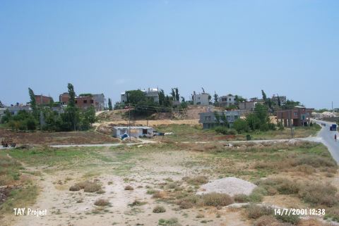 |
|
Type:
|
Mound |
|
Altitude:
|
185 m |
|
Region:
|
Mediterranean |
|
Province:
|
Mersin |
|
District:
|
Merkez |
|
Village:
|
Toroslar |
|
Investigation Method:
|
Excavation |
|
Period:
|
|
|
|
|
 |
|
| The site of Çavuslu lies at the 2007 th Street of the municipality Toroslar (Çavuslu); 6 km north-northwest of the city of Mersin. It is a small mound; only 5-6 m high on a slope. A small sounding was carried out by the Neilsen Survey team under J. Garstang in 1937. Levels of the pre-Hittite Period were informed to be rich in finds; including sherds of the red burnished ware. It was visited by M.V. Seton-Williams in 1951. |
| Location: The site of Çavuslu lies at the 2007 th Street of the municipality Toroslar (Çavuslu); 6 km north-northwest of the city of Mersin. |
| Geography and Environment: The mound lies 5-6 m above a sloping plain; west of Çavuslu Stream. The diameter of the mound has not been provided. It has not been reported whether there is a water source nearby. |
| History: |
| Research and Excavation: |
| Stratigraphy: |
| Small Finds: |
| Remains: |
| Interpretation and Dating: |