| ©The Archaeological Settlements of Turkey - TAY Project | ||||||
|
|
||||||
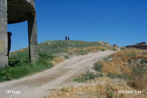
Cano Tepe |
||||||
|
|
||||||
| Ages | Maps | Photos | ||||
| Chalcolithic EBA IA |
 |
 |
||||
|
|
||||||
|
Type:
|
Mound | |||||
|
Altitude:
|
680 m | |||||
|
Diameter:
|
85 m- Direction: SW-NE | |||||
|
|
||||||
|
Region:
|
Eastern Anatolia | |||||
|
Province:
|
Malatya | |||||
|
District:
|
Battalgazi | |||||
|
Village:
|
Boran | |||||
|
|
||||||
|
Destruction :
|
Agriculture - Contemporary Settlements | |||||
|
|
||||||
|
TAYEx:
|
Visited - 22/7/2003 | |||||
|
|
||||||
|
Registration State:
|
For detailed registration information please refer to Turkish pages. | |||||
 |
||||||
| Location: |
| Geography and Environment: |
| Destruction Details: The mound has been damaged by agricultural activities and contemporary settlement. There is a water reservoir on west-southwest skirt and two houses on east and west skirts. East-northeast and southeast skirts of the mound are cut due to make fields [TAYEx 22.7.2003]. |