|
©The Archaeological Settlements of Turkey - TAY Project
|
|
|
|
|
|
Cano Tepe |
|
|
For site maps and drawings please click on the picture...  |
For photographs please click on the photo... 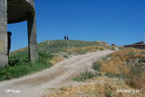 |
|
Type:
|
Mound |
|
Altitude:
|
680 m |
|
Region:
|
Eastern Anatolia |
|
Province:
|
Malatya |
|
District:
|
Battalgazi |
|
Village:
|
Boran |
|
Investigation Method:
|
Survey |
|
Period:
|
|
|
|
|
 |
|
| It lies on a flat elevation inclining towards the Havuz Stream, near the Karakaya Dam lake, east of the former Malatya (Battalgazi) motorway on the northern edge of the Kayali Hamlet, 1.4 km south of the Boran Village, northeast of the provincial center of Malatya. The northern and southern sections have been already occupied as settlement and terrace. It was discovered by I.K. Kökten in 1947, followed by a survey in 1977 conducted by the University of Istanbul. The cone of the mound is remarkably departed from the terrace with its steep slopes, particularly the eastern one being very steep. A small plain ground of 30x10 m is observed on the top. With an altitude of 10 m above the plain ground, the base dimension of the cone is 50x90 m. The longest dimension together with the terrace is about 110 m. Two small springs are observed near the mound. Although majority of the Cano mound will remain outside the submerging area, it is estimated that this significant settlement will be extensively affected because of the backwater zone formed by the dam lake downstream. Some ceramics from the Iron Age were found. |
| Location: |
| Geography and Environment: |
| History: |
| Research and Excavation: |
| Stratigraphy: |
| Small Finds: |
| Remains: |
| Interpretation and Dating: |