|
©The Archaeological Settlements of Turkey - TAY Project
|
|
|
|
|
|
Cano Tepe |
|
|
For site maps and drawings please click on the picture...  |
For photographs please click on the photo... 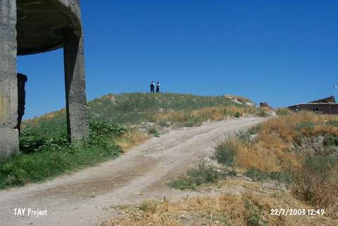 |
|
Type:
|
Mound |
|
Altitude:
|
680 m |
|
Region:
|
Eastern Anatolia |
|
Province:
|
Malatya |
|
District:
|
Battalgazi |
|
Village:
|
Boran |
|
Investigation Method:
|
Survey |
|
Period:
|
Late |
|
|
|
 |
|
| The mound with a flat top lies northeast of Malatya; 1.4 km south of Boran village; north of Kayali quarter; east of Eski Malatya road; close to the Karakaya Dam. It is located on a broad elevation with terraces to the north and to the south. Due to the distribution of the pottery; the 6 m high mound measures 50x90 m. The site was discovered by K. Kökten in 1947; and a surface collection was made by the team consisting of academics and students of the University of Istanbul in 1977. The surface finds date back to the all periods except for the 2nd Millennium BC. The location code of the site is P 50 / 5. |
| Location: |
| Geography and Environment: |
| History: |
| Research and Excavation: |
| Stratigraphy: |
| Small Finds: |
| Remains: |
| Interpretation and Dating: |