|
©The Archaeological Settlements of Turkey - TAY Project
|
|
|
|
|
|
Cano Tepe |
|
|
For site maps and drawings please click on the picture...  |
For photographs please click on the photo... 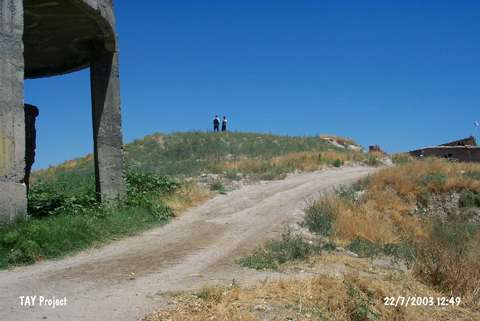 |
|
Type:
|
Mound |
|
Altitude:
|
680 m |
|
Region:
|
Eastern Anatolia |
|
Province:
|
Malatya |
|
District:
|
Battalgazi |
|
Village:
|
Boran |
|
Investigation Method:
|
Survey |
|
Period:
|
|
|
|
|
 |
|
| It is situated very close to the lake of the Karakaya Dam; 1.4 km south of Boran Village; north of Kayali quarter; northeast of Malatya Province. It was discovered in 1947. It stands on a flat hill extending to the Havuz Stream. On two flanks; terracing can be observed. During the surface collection by K. Kökten and other survey teams; plenty of EBA pottery was recovered. |
| Location: |
| Geography and Environment: |
| History: |
| Research and Excavation: |
| Stratigraphy: |
| Small Finds: |
| Remains: |
| Interpretation and Dating: |