| ©The Archaeological Settlements of Turkey - TAY Project | ||||||
|
|
||||||
Aktopraklik |
||||||
|
|
||||||
| Ages | Maps | Photos | ||||
| Neolithic Chalcolithic 14C |
 |
 |
||||
|
|
||||||
|
Type:
|
Mound | |||||
|
Altitude:
|
146 m | |||||
|
Diameter:
|
m- Direction: | |||||
|
|
||||||
|
Region:
|
Marmara | |||||
|
Province:
|
Bursa | |||||
|
District:
|
Nilüfer | |||||
|
Village:
|
Akçalar | |||||
|
|
||||||
|
|
||||||
|
|
||||||
|
TAYEx:
|
- | |||||
|
|
||||||
|
Registration State:
|
Registered For detailed registration information please refer to Turkish pages. | |||||
 |
||||||
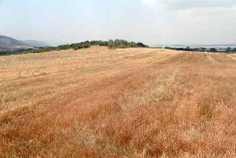
| Location: It lies in the location called Akçalar Sirti; approximately 2 km east of Akçalar Town; west of Nilüfer District; southwest of Bursa Province. Aktopraklõk is situated at about 25 km west of the city of Bursa on one of the terraces rising gradually on the eastern edge of Uluabat Lake. The site is also known as Akçalar Sirti Höyügü. |
| Geography and Environment: The site takes place near the industrial area of Hasanaga. During the excavations it is observed that the upper layers have been damaged due to cultivation. Besides it is reported that Bursa-Izmir motorway is going to pass across this area. The mound is divided into three independent areas; the areas on top of the two elevations divided by the two stream catchment areas that extend towards the lake, and the slope of the southern elevation. Based on the data in hand all three areas are interrelated in terms of culture and chronology. The settlements that we named A, B and C are located at elevations which can hardly be differentiated by the naked eye [Karul 2008:65]. The settlement extends between two river beds and on the ridge north of one of these beds. All three sites (Aktopraklõk A-B-C) are built on Miocene bedrock, and Aktopraklõk C is situated on the north ridge mentioned. The settlement begins at the southern edge of the road linking Bursa, Akçalar, and Hasana a and was built in an east-west direction on a slightly sloping surface. Today the land is covered with olive trees and a number of test pits had been dug before the systematic excavations begun [Karul-Avcı 2011:2]. |
| Destruction Details: |