| ©The Archaeological Settlements of Turkey - TAY Project | ||||||
|
|
||||||
Maltepe |
||||||
|
|
||||||
| Ages | Maps | Photos | ||||
| Chalcolithic EBA IA |
 |
 |
||||
|
|
||||||
|
Type:
|
Mound | |||||
|
Altitude:
|
-48 m | |||||
|
Diameter:
|
m- Direction: | |||||
|
|
||||||
|
Region:
|
Marmara | |||||
|
Province:
|
Çanakkale | |||||
|
District:
|
Gelibolu | |||||
|
Village:
|
Demirtepe | |||||
|
|
||||||
|
Destruction :
|
Agriculture | |||||
|
|
||||||
|
TAYEx:
|
Visited - 18/6/2000 | |||||
|
|
||||||
|
Registration State:
|
Registered For detailed registration information please refer to Turkish pages. | |||||
 |
||||||
| Location: |
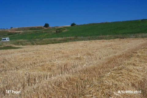
| Geography and Environment: |
| Destruction Details: The surface of the mound is completely planted and the fields are terraced. Stones probably belonging to architectural remains are piled on one of these terraces. There are three blockhouses over the settlement. A concrete bordered pool is built on the southwestern field [TAYEx 18.6.2000]. |