|
©The Archaeological Settlements of Turkey - TAY Project
|
|
|
|
|
|
Maltepe |
|
|
For site maps and drawings please click on the picture...  |
For photographs please click on the photo... 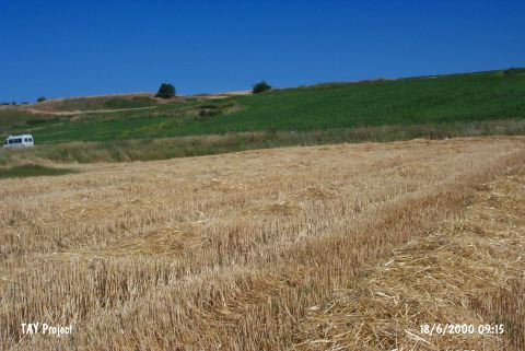 |
|
Type:
|
Mound |
|
Altitude:
|
-48 m |
|
Region:
|
Marmara |
|
Province:
|
Çanakkale |
|
District:
|
Gelibolu |
|
Village:
|
Demirtepe |
|
Investigation Method:
|
Survey |
|
Period:
|
EBA II EBA I |
|
|
|
 |
|
| It lies on the shore; north of the Sabandere stream; 3 km southwest of Demirtepe Village; 4 km southeast of Bolayir on the Gelibolu Peninsula. It lies on natural ridges. It is surrounded by fields on the west and southwest; and the sea can be seen beyond them. A stone paved road passes from between the fields on the plain and the slope in the east-west direction. It was discovered by M. Özdogan during a survey conducted in 1982. Pottery of Troy I was collected from the surface. It measures 100x60x8 m. The layer of Troy I is reported to be very thick. Also found are materials of Kumtepe Ib; Classical Period and Middle Age. It is coded under G 4 / 1. It takes place in the registered archaeological sites list prepared by Ministry of Culture and Tourism. |
| Location: |
| Geography and Environment: |
| History: |
| Research and Excavation: |
| Stratigraphy: |
| Small Finds: |
| Remains: |
| Interpretation and Dating: |