| ©The Archaeological Settlements of Turkey - TAY Project | ||||||
|
|
||||||
 |
Kerhane Höyük |
|||||
|
|
||||||
| Ages | Maps | Photos | ||||
| Neolithic Chalcolithic EBA IA |
 |
 |
||||
|
|
||||||
|
Type:
|
Mound | |||||
|
Altitude:
|
1035 m | |||||
|
Diameter:
|
520 m- Direction: N-S | |||||
|
|
||||||
|
Region:
|
Central Anatolia | |||||
|
Province:
|
Konya | |||||
|
District:
|
Karatay | |||||
|
Village:
|
Hayiroglu | |||||
|
|
||||||
|
Destruction :
|
Illicit Digging | |||||
|
|
||||||
|
TAYEx:
|
Visited - 25/8/2002 | |||||
|
|
||||||
|
Registration State:
|
Registered For detailed registration information please refer to Turkish pages. | |||||
  |
||||||
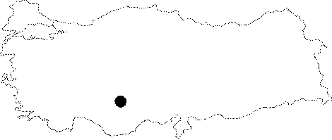
| Location: This site lies 37 km southeast of the city of Konya; 20 km north-northeast of the town of Çumra District and 8 km south of Yarma Town. North-northwest of the town is Hayirlioglu Village; southeast is Ovakavagi Village. |
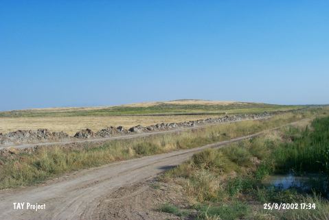
| Geography and Environment: The mound is oval-shaped and has a 500x200 m base. It lies in the Konya Plain; in the flat area watered by Çarsamba Stream. Even in a 1:200;000 map; it is clear that the soil surrounding the mound is fertile. There used to be swamps/marshes (which have now been drained) in the area west of the mound. |
| Destruction Details: The mound has been damaged due to illicit diggings. There is a pit on northeast slope and a watering channel passes on its northwest skirt [TAYEx 25.8.2002]. |

