|
©The Archaeological Settlements of Turkey - TAY Project
|
|
|
|
|
|
Kerhane Höyük |
|
|
For site maps and drawings please click on the picture... 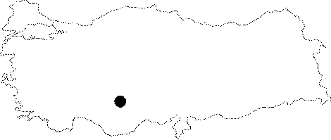 |
For photographs please click on the photo... 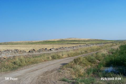 |
|
Type:
|
Mound |
|
Altitude:
|
1035 m |
|
Region:
|
Central Anatolia |
|
Province:
|
Konya |
|
District:
|
Karatay |
|
Village:
|
Hayiroglu |
|
Investigation Method:
|
Survey |
|
Period:
|
|
|
|
|
  |
|
| This site lies 37 km southeast of the city of Konya; 20 km north-northeast of the town of Çumra District and 8 km south of Yarma Town. North-northwest of the town is Hayirlioglu Village; southeast is Ovakavagi Village. The mound is oval-shaped and has a 500x200 m base. It lies in the Konya Plain; in the flat area watered by Çarsamba Stream. Even in a 1:200;000 map; it is clear that the soil surrounding the mound is fertile. There used to be swamps/marshes (which have now been drained) in the area west of the mound. It was discovered by J. Mellaart and revisited by H. Bahar. Bahar collected Late Neolithic; Chalcolithic and EBA potsherds from the surface. It is listed in the registered archaeological sites inventory prepared by Ministry of Culture and Tourism. |
| Location: This site lies 37 km southeast of the city of Konya; 20 km north-northeast of the town of Çumra District and 8 km south of Yarma Town. North-northwest of the town is Hayirlioglu Village; southeast is Ovakavagi Village. |
| Geography and Environment: The mound is oval-shaped and has a 500x200 m base. It lies in the Konya Plain; in the flat area watered by Çarsamba Stream. Even in a 1:200;000 map; it is clear that the soil surrounding the mound is fertile. There used to be swamps/marshes (which have now been drained) in the area west of the mound. |
| History: |
| Research and Excavation: |
| Stratigraphy: |
| Small Finds: |
| Remains: |
| Interpretation and Dating: |

