|
©The Archaeological Settlements of Turkey - TAY Project
|
|
|
|
|
|
Kerhane Höyük |
|
|
For site maps and drawings please click on the picture... 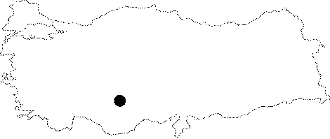 |
For photographs please click on the photo... 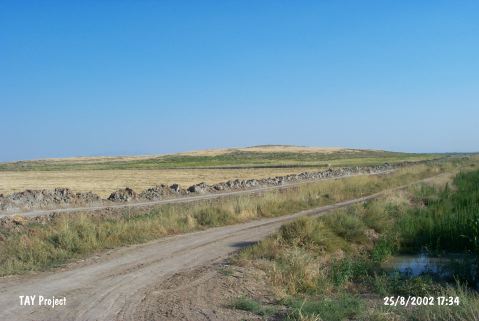 |
|
Type:
|
Mound |
|
Altitude:
|
1035 m |
|
Region:
|
Central Anatolia |
|
Province:
|
Konya |
|
District:
|
Karatay |
|
Village:
|
Hayiroglu |
|
Investigation Method:
|
Survey |
|
Period:
|
|
|
|
|
  |
|
| This site lies 37 km southeast of the city of Konya; 20 km north-northeast of the town of Çumra District and 8 km south of Yarma Town. North-northwest of the town is Hayirlioglu Village; southeast is Ovakavagi Village. Although a major part of the mound has been almost demolished due to recent agricultural acitivities, it is one of the largest mounds in the Konya Plain. Furthermore, it is an important settlement as it houses various different cultures. Finds dating to the Neolithic, Chalcolithic, EBA, MBA, Late Iron Age and Roman Period were recovered. It takes place in the registered archaeological sites list prepared by Ministry of Culture and Tourism. |
| Location: This site lies 37 km southeast of the city of Konya; 20 km north-northeast of the town of Çumra District and 8 km south of Yarma Town. North-northwest of the town is Hayirlioglu Village; southeast is Ovakavagi Village. |
| Geography and Environment: The mound is oval-shaped and has a 500x200 m base. It lies in the Konya Plain; in the flat area watered by Çarsamba Stream. Even in a 1:200;000 map; it is clear that the soil surrounding the mound is fertile. There used to be swamps/marshes (which have now been drained) in the area west of the mound. |
| History: |
| Research and Excavation: |
| Stratigraphy: |
| Small Finds: |
| Remains: |
| Interpretation and Dating: |

