| ©The Archaeological Settlements of Turkey - TAY Project | ||||||
|
|
||||||
Habusu Körtepe |
||||||
|
|
||||||
| Ages | Maps | Photos | ||||
| Chalcolithic EBA IA |
 |
 |
||||
|
|
||||||
|
Type:
|
Mound | |||||
|
Altitude:
|
812 m | |||||
|
Diameter:
|
m- Direction: | |||||
|
|
||||||
|
Region:
|
Eastern Anatolia | |||||
|
Province:
|
Elazig | |||||
|
District:
|
Merkez | |||||
|
Village:
|
Ikizdemir | |||||
|
|
||||||
|
Destruction :
|
Dams | |||||
|
|
||||||
|
TAYEx:
|
Not visited - 15/8/2003 | |||||
|
|
||||||
|
Registration State:
|
For detailed registration information please refer to Turkish pages. | |||||
 |
||||||
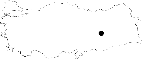
| Location: The site lies approximately 44 km away from Elazig; approximately 1 km east of Ikizdemir (Habusu) Village; 1 km west of Korucutepe; and 4 km northeast of Norsuntepe. It is located on both sides of the Old Elazig-Bingöl Road; and was split into two during the construction of the railway. Therefore; the northern part is named as Habusu Körtepe I (Location code: O 55 / 8); and the southern part is named as Habusu Körtepe II (Location code: O 55 / 9). |
| Geography and Environment: The mound measured 240 m long from north to south; and 130 m long from east to west before it was damaged. |
| Destruction Details: The mound is flooded by dam reservoir [TAYEx 15.8.2003]. |