|
©The Archaeological Settlements of Turkey - TAY Project
|
|
|
|
|
|
Habusu Körtepe |
|
|
For site maps and drawings please click on the picture... 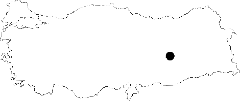 |
For photographs please click on the photo...  |
|
Type:
|
Mound |
|
Altitude:
|
812 m |
|
Region:
|
Eastern Anatolia |
|
Province:
|
Elazig |
|
District:
|
Merkez |
|
Village:
|
Ikizdemir |
|
Investigation Method:
|
Excavation |
|
Period:
|
|
|
|
|
 |
|
| It is settlement divided into two by a railway and a motorway, 1-1.5 km east of the Ikizdemir (Habusu) Village of Altinova, east of the provincial center of Elazig. It was a very low, wide and flat mound flooded by the Keban Dam's Lake. In 1967 when it was discovered during a survey conducted by R. Whallon and S. Kantman, the mound was surveyed separately in two different sections. Some Iron Age finds were collected from the surface. |
| Location: The site lies approximately 44 km away from Elazig; approximately 1 km east of Ikizdemir (Habusu) Village; 1 km west of Korucutepe; and 4 km northeast of Norsuntepe. It is located on both sides of the Old Elazig-Bingöl Road; and was split into two during the construction of the railway. Therefore; the northern part is named as Habusu Körtepe I (Location code: O 55 / 8); and the southern part is named as Habusu Körtepe II (Location code: O 55 / 9). |
| Geography and Environment: The mound measured 240 m long from north to south; and 130 m long from east to west before it was damaged. |
| History: |
| Research and Excavation: |
| Stratigraphy: |
| Small Finds: |
| Remains: |
| Interpretation and Dating: |