| ©The Archaeological Settlements of Turkey - TAY Project | ||||||
|
|
||||||
Geneli |
||||||
|
|
||||||
| Ages | Maps | Photos | ||||
| Chalcolithic EBA |
 |
 |
||||
|
|
||||||
|
Type:
|
Mound | |||||
|
Altitude:
|
930 m | |||||
|
Diameter:
|
m- Direction: | |||||
|
|
||||||
|
Region:
|
Aegean | |||||
|
Province:
|
Afyonkarahisar | |||||
|
District:
|
Çay | |||||
|
Village:
|
Çayiryazi | |||||
|
|
||||||
|
Destruction :
|
Illicit Digging - Contemporary Settlements | |||||
|
|
||||||
|
TAYEx:
|
Visited - 29/6/2001 | |||||
|
|
||||||
|
Registration State:
|
For detailed registration information please refer to Turkish pages. | |||||
 |
||||||
| Location: |
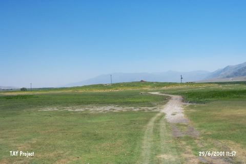
| Geography and Environment: |
| Destruction Details: The mound has been destructed by urbanization. There is an electric transformer and a related hut on south-southeast skirt. There are plenty of pits on top [TAYEx 29.6.2001 - TAYEx 13.7.2004]. |