|
©The Archaeological Settlements of Turkey - TAY Project
|
|
|
|
|
|
Geneli |
|
|
For site maps and drawings please click on the picture...  |
For photographs please click on the photo... 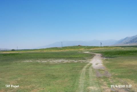 |
|
Type:
|
Mound |
|
Altitude:
|
930 m |
|
Region:
|
Aegean |
|
Province:
|
Afyonkarahisar |
|
District:
|
Çay |
|
Village:
|
Çayiryazi |
|
Investigation Method:
|
Survey |
|
Period:
|
Late |
|
|
|
 |
|
| It lies on the bank of the Lake Keramik on the southwestern end; southeast of Afyonkarahisar Province. The site lies east of Dinar-Çay road motorway and approximately 2 km northeast of Çayiryazi (Geneli) village. According to Mellaart; Geneli is among the Late Chalcolithic Age sites of Southwestern Anatolia. It was visited during the survey conducted by Ö. Koçak [Koçak 2015:367]. |
| Location: |
| Geography and Environment: |
| History: |
| Research and Excavation: |
| Stratigraphy: |
| Small Finds: |
| Remains: |
| Interpretation and Dating: |