|
©The Archaeological Settlements of Turkey - TAY Project
|
|
|
|
|
|
Geneli |
|
|
For site maps and drawings please click on the picture...  |
For photographs please click on the photo... 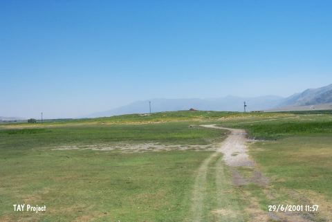 |
|
Type:
|
Mound |
|
Altitude:
|
930 m |
|
Region:
|
Aegean |
|
Province:
|
Afyonkarahisar |
|
District:
|
Çay |
|
Village:
|
Çayiryazi |
|
Investigation Method:
|
Survey |
|
Period:
|
EBA II |
|
|
|
 |
|
| It lies on the bank of the Lake Keramik on the southwestern end; southeast of Afyonkarahisar Province. The site lies east of Dinar-Cay road motorway and approximately 2 km northeast of Cayiryazi (Geneli) village. It was discovered by J. Mellaart. It was identified as an EBA II settlement upon the comparision of the sherds with the pottery found in the Beycesultan excavations. It is also indicated as an EBA settlement in the guide of the Afyon Archaeological Museum. It was visited during the survey conducted by Ö. Koçak. It was mentioned as Küllüklü Pinar in Koçak's report. The mound measures 180x250 m and 12 m in height. It was observed that Roman level covers the earlier remains. A few EBA and Roman finds were encountered [Koçak 2015:367]. |
| Location: |
| Geography and Environment: |
| History: |
| Research and Excavation: |
| Stratigraphy: |
| Small Finds: |
| Remains: |
| Interpretation and Dating: |