| ©The Archaeological Settlements of Turkey - TAY Project | ||||||
|
|
||||||
Dökme Tepe 1 |
||||||
|
|
||||||
| Ages | Maps | Photos | ||||
| EBA IA |
 |
 |
||||
|
|
||||||
|
Type:
|
Tumulus | |||||
|
Altitude:
|
825 m | |||||
|
Diameter:
|
m- Direction: | |||||
|
|
||||||
|
Region:
|
Black Sea | |||||
|
Province:
|
Samsun | |||||
|
District:
|
Havza | |||||
|
Village:
|
Çamyatagi | |||||
|
|
||||||
|
Destruction :
|
Illicit Digging - Other | |||||
|
|
||||||
|
TAYEx:
|
Visited - 31/8/2003 | |||||
|
|
||||||
|
Registration State:
|
Registered For detailed registration information please refer to Turkish pages. | |||||
 |
||||||
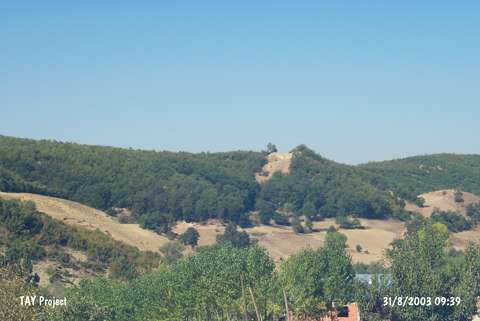
| Location: |
| Geography and Environment: |
| Destruction Details: Official and illicit diggings were done at the tumulus. In the middle of it is a pit measuring 7 m in depth and 8 m in diameter [TAYEx 31.8.2003]. |