|
©The Archaeological Settlements of Turkey - TAY Project
|
|
|
|
|
|
Dökme Tepe 1 |
|
|
For site maps and drawings please click on the picture...  |
For photographs please click on the photo... 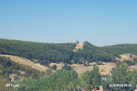 |
|
Type:
|
Tumulus |
|
Altitude:
|
825 m |
|
Region:
|
Black Sea |
|
Province:
|
Samsun |
|
District:
|
Havza |
|
Village:
|
Çamyatagi |
|
Investigation Method:
|
Survey |
|
Period:
|
|
|
|
|
 |
|
| It is located in the Degirmenönü Mevkii; 1 km west-southwest of the village of Çamyatagi; 3 km south of the village of Sofular; northeast of the district of Havza in the province of Samsun. The Köy Stream flows from its north-northeastern skirt. The hill is locally known as Sivrice. It takes place in the registered archaeological sites list prepared by Ministry of Culture and Tourism. |
| Location: |
| Geography and Environment: |
| History: |
| Research and Excavation: |
| Stratigraphy: |
| Small Finds: |
| Remains: |
| Interpretation and Dating: |