|
©The Archaeological Settlements of Turkey - TAY Project
|
|
|
|
|
|
Dökme Tepe 1 |
|
|
For site maps and drawings please click on the picture...  |
For photographs please click on the photo... 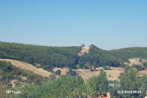 |
|
Type:
|
Tumulus |
|
Altitude:
|
825 m |
|
Region:
|
Black Sea |
|
Province:
|
Samsun |
|
District:
|
Havza |
|
Village:
|
Çamyatagi |
|
Investigation Method:
|
Survey |
|
Period:
|
|
|
|
|
 |
|
| It is located at Degirmenönü Mevkii, 1 km west-southwest of the Çamyatagi (Lerdüge) Village, northeast of the Havza District in Samsun. The Köy Brook runs through its north-northeastern skirt. The mound is locally known as Sivrice. It is listed among the registered archeological sites prepared by the Ministry of Culture and Tourism. Sherds dating to the Early and Middle Bronze Ages, Iron Age, Roman and Late Roman Periods were collected from the surface. It takes place in the registered archaeological sites list prepared by Ministry of Culture and Tourism. |
| Location: |
| Geography and Environment: |
| History: |
| Research and Excavation: |
| Stratigraphy: |
| Small Finds: |
| Remains: |
| Interpretation and Dating: |