| ©The Archaeological Settlements of Turkey - TAY Project | ||||||
|
|
||||||
Domuztepe |
||||||
|
|
||||||
| Ages | Maps | Photos | ||||
| Neolithic Chalcolithic EBA IA |
 |
 |
||||
|
|
||||||
|
Type:
|
Mound | |||||
|
Altitude:
|
250 m | |||||
|
Diameter:
|
m- Direction: | |||||
|
|
||||||
|
Region:
|
Mediterranean | |||||
|
Province:
|
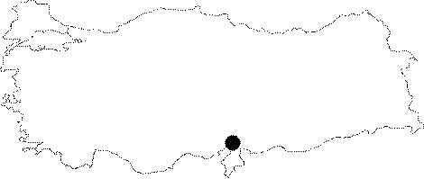
Osmaniye | |||||
|
District:
|
Kadirli | |||||
|
Village:
|
Çerçioglu | |||||
|
|
||||||
|
|
||||||
|
|
||||||
|
TAYEx:
|
Not visited - 30/7/2001 | |||||
|
|
||||||
|
Registration State:
|
Registered For detailed registration information please refer to Turkish pages. | |||||
 |
||||||
| Location: The site lies north of Adana; approximately 17 km southeast of Kadirli District; 6.5 km southwest of Çerçiusagi Village; just across Karatepe ruins. |
| Geography and Environment: The site is located on the eastern shore of Aslantepe Dam; near the lake. It used to lie on a rocky elevation; overlooking Ceyhan River; before the construction of the dam. The old settlements are on the western and southern slopes of the mound. The settlement is divided into three areas: The plateau where the Roman farm is located; the mound with all levels revealed; and the slope settlement (for detailed location see Harmankaya et al. 1997:Domuztepe). |
| Destruction Details: |