|
©The Archaeological Settlements of Turkey - TAY Project
|
|
|
|
|
|
Domuztepe |
|
|
For site maps and drawings please click on the picture... 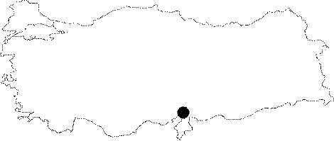 |
For photographs please click on the photo...  |
|
Type:
|
Mound |
|
Altitude:
|
250 m |
|
Region:
|
Mediterranean |
|
Province:
|
Osmaniye |
|
District:
|
Kadirli |
|
Village:
|
Çerçioglu |
|
Investigation Method:
|
Excavation |
|
Period:
|
Late |
|
|
|
 |
|
| Location: The site lies north of Adana; approximately 17 km southeast of Kadirli District; 6.5 km southwest of Çerçiusagi Village; just across Karatepe ruins. |
| Geography and Environment: The site is located on the eastern shore of Aslantepe Dam; near the lake. It used to lie on a rocky elevation; overlooking Ceyhan River; before the construction of the dam. The old settlements are on the western and southern slopes of the mound. The settlement is divided into three areas: The plateau where the Roman farm is located; the mound with all levels revealed; and the slope settlement (for detailed location see Harmankaya et al. 1997:Domuztepe). |
| History: |
| Research and Excavation: The site was surveyed by H.Th. Bossert and U.B. Alkim and other archaeologists after it was discovered by local villagers. The Neo-Hittite lion statues have added to the importance of this site [Alkim 1952:225-237]. The site was excavated and recorded by U. B. Alkim in 1949-52. The magnificent finds of Karatepe; just across the mound; overshadowed Domuztepe. Bushes were removed in order to survey the area that was going to be inundated; and to find other Late Hittite Period sculpture pieces at the western and southern slopes; looking at Tigris; after the construction of Aslantepe Dam. It was surprising to encounter an important settlement; comprising many cultural periods; on these slopes. After the cleaning and recording studies in 1983; bushes were removed at an area of approximately 500x100 m in 1984. In addition; small soundings were made for tracing walls with respect to the slope topography. Excavations were conducted by Çambel in 1984; first in the fields between the height of 146-130 m; the heights that correspond to the lowered water level of the dam lake. Excavation continues today on the top of the mound and in the forested region in the southeast. A Roman farmhouse; now cleaned and partially restored; was found in this forested area. It takes place in the registered archaeological sites list prepared by Ministry of Culture and Tourism. |
| Stratigraphy: The recovered sherds from the site indicate many culturel periods between Neolithic Age and Roman Period. |
| Small Finds: Architecture: In 1983 excavation; the Chalcolithic Age building level was revealed beneath the thick debris deposit in a trench; dug to investigate the gate structure; at the area where the lion sculpture of the Late Hittite Period gate was found. A 50 cm thick debris deposit is reported between the NA level and the Chalcolithic Age level [Çambel 1986a:38]. However; only a small door fragment and a pit were revealed. In 1984; two spaces with walls built with small stones; dating to the same period; were revealed at another 26 m long trench west of the first trench. A horseshoe hearth with a front platform; was found at the center of these spaces [Çambel 1986b:278; pic.10]. Pottery: There is not a detailed research about the Chalcolithic pottery finds of Domuztepe yet. Ubaid-Uruk Transition Period sherds are reported for now. |
| Remains: |
| Interpretation and Dating: It is interesting that there is an intense settlement on the 60 degree slope of Domuztepe; looking at Ceyhan River. It is not known why the site was chosen as a camp site by the first farmers. Although the slope of the mound has been inundated; the hill was not effected by the dam. There are probably Chalcolithic Age settlements at this area; and it is hoped that future excavations will uncover them. |