|
©The Archaeological Settlements of Turkey - TAY Project
|
|
|
|
|
|
Domuztepe |
|
|
For site maps and drawings please click on the picture... 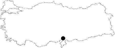 |
For photographs please click on the photo...  |
|
Type:
|
Mound |
|
Altitude:
|
250 m |
|
Region:
|
Mediterranean |
|
Province:
|
Osmaniye |
|
District:
|
Kadirli |
|
Village:
|
Çerçioglu |
|
Investigation Method:
|
Excavation |
|
Period:
|
|
|
|
|
 |
|
| It lies across the Karatepe settlement; about 17 km southeast of Kadirli; northeast of Adana Province. It was excavated by H. Bossert and U.B. Alkim and identified as a Late Hittite Period settlement. Wall remains and pottery yielded during the cleaning process carried out on the slope facing the Ceyhan River prior to releasing the waters of the Arslantepe Dam required an excavation on that slope in 1984. Excavation carried out under H. Çambel has revealed mass finds of flintstone and sherds dating from the beginning of EBA [Çambel -Özdogan 1985:pic.5]; however the finds were not published in detail. Another survey is neccesary to verify the EBA settlement. The site had been inhabited from the Neolithic Age to the Early Iron Age. No prehistoric remains were recovered during the continued excavations on the rocky part of the settlement. It takes place in the registered archaeological sites list prepared by Ministry of Culture and Tourism. |
| Location: The site lies north of Adana; approximately 17 km southeast of Kadirli District; 6.5 km southwest of Çerçiusagi Village; just across Karatepe ruins. |
| Geography and Environment: The site is located on the eastern shore of Aslantepe Dam; near the lake. It used to lie on a rocky elevation; overlooking Ceyhan River; before the construction of the dam. The old settlements are on the western and southern slopes of the mound. The settlement is divided into three areas: The plateau where the Roman farm is located; the mound with all levels revealed; and the slope settlement (for detailed location see Harmankaya et al. 1997:Domuztepe). |
| History: |
| Research and Excavation: |
| Stratigraphy: |
| Small Finds: |
| Remains: |
| Interpretation and Dating: |