| ©The Archaeological Settlements of Turkey - TAY Project | ||||||
|
|
||||||
Akdogan |
||||||
|
|
||||||
| Ages | Maps | Photos | ||||
| Chalcolithic EBA Greek-Roman |
 |
 |
||||
|
|
||||||
|
Type:
|
Mound | |||||
|
Altitude:
|
1190 m | |||||
|
Diameter:
|
162 m- Direction: E-W | |||||
|
|
||||||
|
Region:
|
Central Anatolia | |||||
|
Province:
|
Konya | |||||
|
District:
|
Sarayönü | |||||
|
Village:
|
Akdogan | |||||
|
|
||||||
|
Destruction :
|
Contemporary Settlements - Highways, roads, bridges etc. | |||||
|
|
||||||
|
TAYEx:
|
Visited - 12/9/2002 | |||||
|
|
||||||
|
Registration State:
|
For detailed registration information please refer to Turkish pages. | |||||
 |
||||||
| Location: |
| Geography and Environment: |
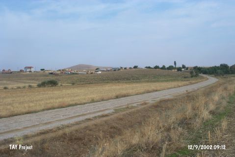
| Destruction Details: The mound has been partly damaged due to contemporary settlement and the road crossing its northern skirt. There is a soil taken part at the northwest skirt and a grave encircled with barbed wire on southern part of top hill [TAYEx 12.9.2002]. |