|
©The Archaeological Settlements of Turkey - TAY Project
|
|
|
|
|
|
Akdogan |
|
|
For site maps and drawings please click on the picture...  |
For photographs please click on the photo... 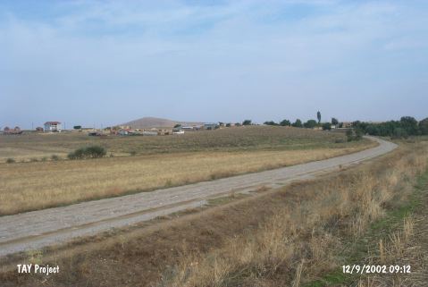 |
|
Type:
|
Mound |
|
Altitude:
|
1190 m |
|
Region:
|
Central Anatolia |
|
Province:
|
Konya |
|
District:
|
Sarayönü |
|
Village:
|
Akdogan |
|
Investigation Method:
|
Survey |
|
Period:
|
Hellenistic |
|
|
|
 |
|
| It is situated to the immediate south of the Akdogan Village; 4 km south of the Konar Village; 10 km far from the Sarayönü District; north of the Konya Province. The road running to the Dagdere Village passes through the northern skirt of the mound. The mound measures 200x200x30 m. In 1995; surveys were conducted under the direction of H. Bahar on behalf of the University of Selçuk. The surveys yielded potsherds dating from the Hellenistic Period as well as the Chalcolithic and EBA material. |
| Location: |
| Geography and Environment: |
| History: |
| Research and Excavation: |
| Stratigraphy: |
| Small Finds: |
| Remains: |
| Interpretation and Dating: |