|
©The Archaeological Settlements of Turkey - TAY Project
|
|
|
|
|
|
Akdogan |
|
|
For site maps and drawings please click on the picture...  |
For photographs please click on the photo... 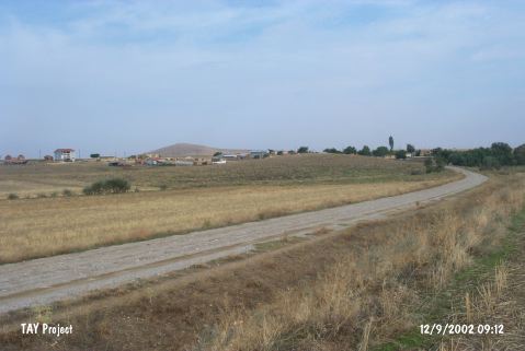 |
|
Type:
|
Mound |
|
Altitude:
|
1190 m |
|
Region:
|
Central Anatolia |
|
Province:
|
Konya |
|
District:
|
Sarayönü |
|
Village:
|
Akdogan |
|
Investigation Method:
|
Survey |
|
Period:
|
|
|
|
|
 |
|
| The mound lies north of Konya; 10 km southeast of Sarayönü; south of Akdogan village; which is 4 km south of Konar village. The road to Dagdere Village crosses its northern skirt. The round mound is 30 m height and 200 m in diameter. In 1995; H.Bahar conducted a surface collection on the site. Sherds dating back to the Chalcolithic Age; EBA-LBA; and Hellenistic Period were collected. Bahar has considered the Chalcolithic and EBA pottery as a single group. |
| Location: |
| Geography and Environment: |
| History: |
| Research and Excavation: |
| Stratigraphy: |
| Small Finds: |
| Remains: |
| Interpretation and Dating: |