| ©The Archaeological Settlements of Turkey - TAY Project | ||||||
|
|
||||||
Degirmenözü |
||||||
|
|
||||||
| Ages | Maps | Photos | ||||
| Neolithic Chalcolithic |
 |
 |
||||
|
|
||||||
|
Type:
|
Mound | |||||
|
Altitude:
|
1155 m | |||||
|
Diameter:
|
m- Direction: | |||||
|
|
||||||
|
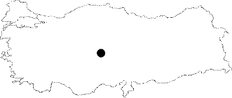
Region:
|
Central Anatolia | |||||
|
Province:
|
Aksaray | |||||
|
District:
|
Ortaköy | |||||
|
Village:
|
Gökleryaylasi | |||||
|
|
||||||
|
Destruction :
|
Agriculture - Contemporary Settlements | |||||
|
|
||||||
|
TAYEx:
|
Visited - 1/8/2002 | |||||
|
|
||||||
|
Registration State:
|
For detailed registration information please refer to Turkish pages. | |||||
 |
||||||
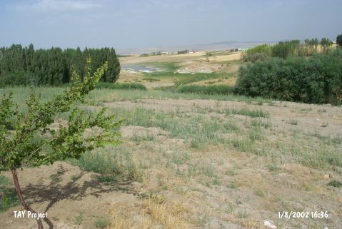
| Location: This site lies in Degirmenözü Mevkii of Gökler Village; 5 km northeast of Ortaköy District of Aksaray Province. |
| Geography and Environment: Todd describes Degirmenözü as a low mound along the skirts of a natural hill [Todd 1980:40]. Except for a nearby stream; there are no fresh water sources in the site's vicinity today. In 1966; when the site was surveyed; it was under cultivation. The narrow valley that the site lies in is bounded by mountains. |
| Destruction Details: The top of the site has been leveled by bulldozer [TAYEx 1.8.2002]. |