| ©The Archaeological Settlements of Turkey - TAY Project | ||||||
|
|
||||||
Çiftlik Yamaçlari |
||||||
|
|
||||||
| Ages | Maps | Photos | ||||
| Palaeolithic/Epipalaeolithic |
 |
 |
||||
|
|
||||||
|
Type:
|
Habitation Site / Workshop | |||||
|
Altitude:
|
m | |||||
|
Diameter:
|
m- Direction: | |||||
|
|
||||||
|
Region:
|
Eastern Anatolia | |||||
|
Province:
|
Elazig | |||||
|
District:
|
Agin | |||||
|
Village:
|
||||||
|
|
||||||
|
Destruction :
|
Dams | |||||
|
|
||||||
|
TAYEx:
|
Not visited - 16/7/2003 | |||||
|
|
||||||
|
Registration State:
|
For detailed registration information please refer to Turkish pages. | |||||
 |
||||||
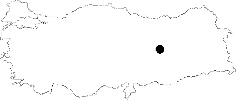
| Location: This site is northwest of the city of Elazig and northwest of the town of Agin. The name Çiftlik does not appear on a 1:100;000 map. |
| Geography and Environment: The only geological information reported is that the site is approximately 1;000 m above sea level. |
| Destruction Details: |