| ©The Archaeological Settlements of Turkey - TAY Project | ||||||
|
|
||||||
Bügdüz Höyük |
||||||
|
|
||||||
| Ages | Maps | Photos | ||||
| EBA Greek-Roman |
 |
 |
||||
|
|
||||||
|
Type:
|
Mound | |||||
|
Altitude:
|
1090 m | |||||
|
Diameter:
|
m- Direction: | |||||
|
|
||||||
|
Region:
|
Mediterranean | |||||
|
Province:
|
Burdur | |||||
|
District:
|
Merkez | |||||
|
Village:
|
Bügdüz | |||||
|
|
||||||
|
Destruction :
|
Agriculture - Contemporary Settlements - Highways, roads, bridges etc. - Attention | |||||
|
|
||||||
|
TAYEx:
|
Visited - 13/6/2001 | |||||
|
|
||||||
|
Registration State:
|
For detailed registration information please refer to Turkish pages. | |||||
 |
||||||
| Location: |
| Geography and Environment: |
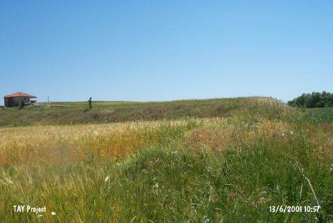
| Destruction Details: The mound has been damaged due to agricultural activities and contemporary settlement. The north-northeast slope has been terraced; east-northeast skirt has been leveled and a house built on top of the mound [TAYEx 13.6.2001]. |