|
©The Archaeological Settlements of Turkey - TAY Project
|
|
|
|
|
|
Bügdüz Höyük |
|
|
For site maps and drawings please click on the picture...  |
For photographs please click on the photo... 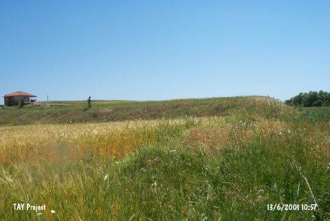 |
|
Type:
|
Mound |
|
Altitude:
|
1090 m |
|
Region:
|
Mediterranean |
|
Province:
|
Burdur |
|
District:
|
Merkez |
|
Village:
|
Bügdüz |
|
Investigation Method:
|
Survey |
|
Period:
|
|
|
|
|
 |
|
| It is located 100 m away from the bridge at Kanatlidere Mevkii; 1.7 km north of Bügdüz Village; 22 km south of Burdur Province. 150 m north flows the Kiravgaz Stream. It was discovered during a survey conducted by M. Özsait in 1995. It measures 5 m in height and 150x200 m in dimensions. Black-gray and reddish brown washed and burnished pottery was collected from the surface. |
| Location: |
| Geography and Environment: |
| History: |
| Research and Excavation: |
| Stratigraphy: |
| Small Finds: |
| Remains: |
| Interpretation and Dating: |