|
©The Archaeological Settlements of Turkey - TAY Project
|
|
|
|
|
|
Bügdüz Höyük |
|
|
For site maps and drawings please click on the picture...  |
For photographs please click on the photo... 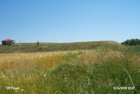 |
|
Type:
|
Mound |
|
Altitude:
|
1090 m |
|
Region:
|
Mediterranean |
|
Province:
|
Burdur |
|
District:
|
Merkez |
|
Village:
|
Bügdüz |
|
Investigation Method:
|
Survey |
|
Period:
|
Roman |
|
|
|
 |
|
| It is situated 100 m far from a bridge at the Kanatlidere Mevkii; 1.7 km north of the Bügdüz Village; 22 km south of the Burdur Province. 150 m to the north runs the Kiravgaz Brook. It measures 150x250 m with a height of 5 m. Postherds from the Roman Period other than the EBA were collected from the surface during a survey conducted in 1995 under the direction of M. Ozsait on behalf of the University of Istanbul. Also found in the Bügdüz Village are architectural and epigraphical finds probably from the Roman Period and a re-used stone vase; possibly from a temple. |
| Location: |
| Geography and Environment: |
| History: |
| Research and Excavation: |
| Stratigraphy: |
| Small Finds: |
| Remains: |
| Interpretation and Dating: |