| ©The Archaeological Settlements of Turkey - TAY Project | ||||||
|
|
||||||
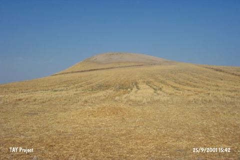
Bozhöyük |
||||||
|
|
||||||
| Ages | Maps | Photos | ||||
| Chalcolithic EBA |
 |
 |
||||
|
|
||||||
|
Type:
|
Mound | |||||
|
Altitude:
|
520 m | |||||
|
Diameter:
|
m- Direction: | |||||
|
|
||||||
|
Region:
|
Southeastern Anatolia | |||||
|
Province:
|
Adiyaman | |||||
|
District:
|
Merkez | |||||
|
Village:
|
Bozhüyük | |||||
|
|
||||||
|
Destruction :
|
Agriculture - Contemporary Settlements | |||||
|
|
||||||
|
TAYEx:
|
Visited - 25/9/2001 | |||||
|
|
||||||
|
Registration State:
|
Registered For detailed registration information please refer to Turkish pages. | |||||
 |
||||||
| Location: |
| Geography and Environment: |
| Destruction Details: Bozhöyük (Adiyaman) settlement is destructed by agricultural and constructing activities. Soil taken from the west skirt of the mound and it is observed that it is being used as a field [TAYEx 25.9.2001]. A great number of fox burrows were seen on the mound [Ezer et al. 2015:179]. |