| ©The Archaeological Settlements of Turkey - TAY Project | ||||||
|
|
||||||
Boyali Ikiztepe 1-2 |
||||||
|
|
||||||
| Ages | Maps | Photos | ||||
| EBA IA |
 |
 |
||||
|
|
||||||
|
Type:
|
Mound | |||||
|
Altitude:
|
630 m | |||||
|
Diameter:
|
m- Direction: | |||||
|
|
||||||
|
Region:
|
Black Sea | |||||
|
Province:
|
Sinop | |||||
|
District:
|
Boyabat | |||||
|
Village:
|
Boyali | |||||
|
|
||||||
|
Destruction :
|
Illicit Digging - Agriculture - Attention | |||||
|
|
||||||
|
TAYEx:
|
Visited - 16/9/2003 | |||||
|
|
||||||
|
Registration State:
|
For detailed registration information please refer to Turkish pages. | |||||
 |
||||||
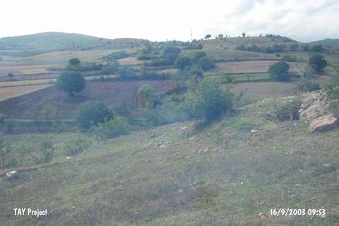
| Location: |
| Geography and Environment: |
| Destruction Details: The site is surrounded by cultivated fields. Electricity poles were located on the mound. A pit of illicit diggings measuring 2 m in width and 1 m in depth was observed on its skirt [TAYEx 16.9.2003]. |