|
©The Archaeological Settlements of Turkey - TAY Project
|
|
|
|
|
|
Boyali Ikiztepe 1-2 |
|
|
For site maps and drawings please click on the picture...  |
For photographs please click on the photo... 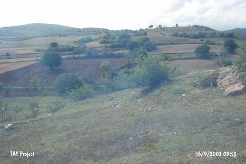 |
|
Type:
|
Mound |
|
Altitude:
|
630 m |
|
Region:
|
Black Sea |
|
Province:
|
Sinop |
|
District:
|
Boyabat |
|
Village:
|
Boyali |
|
Investigation Method:
|
Survey |
|
Period:
|
Late Phrygian |
|
|
|
 |
|
| They lie 1 km southwest of the Boyali Village, south of the Boyabat District, south of the provincial center of Sinop. To the southeast runs the Karasu Brook. It was discovered during the surveys conducted by S. Dönmez in 1998. Ikiztepe I is located next to the road, and it measures 150x100x10 m in dimensions. Material dating to the Early Bronze, Middle Bronze and Late Iron Ages were collected from the surface. Ikiztepe II lies 50-70 m northeast of the first one, and it measures 130 x 100x10 m in dimensions. Material dating to the Early Bronze Age, Hellenistic and Roman Periods were collected from the surface. It appears that it was a settlement with two nuclei. |
| Location: |
| Geography and Environment: |
| History: |
| Research and Excavation: |
| Stratigraphy: |
| Small Finds: |
| Remains: |
| Interpretation and Dating: |