|
©The Archaeological Settlements of Turkey - TAY Project
|
|
|
|
|
|
Boyali Ikiztepe 1-2 |
|
|
For site maps and drawings please click on the picture...  |
For photographs please click on the photo... 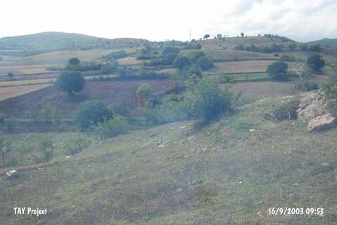 |
|
Type:
|
Mound |
|
Altitude:
|
630 m |
|
Region:
|
Black Sea |
|
Province:
|
Sinop |
|
District:
|
Boyabat |
|
Village:
|
Boyali |
|
Investigation Method:
|
Survey |
|
Period:
|
|
|
|
|
 |
|
| The mounds lie 1 km northwest of Boyali Village; south of Boyabat District; south of Sinop Province. To the southeast flows the Karasu stream. They were discovered in 1998 during a survey conducted by M.A. Isin. Ikiztepe I lies next to the road and measures 150x100x10 m. Materials of the EBA; MBA and the Late Iron Age were collected from the surface. Ikiztepe II lies 50-70 m northeast of the other mound and measures 130x100x10 m. Materials of the EBA; the Hellenistic and Roman Periods were collected from the surface. It is suggested that this is a double cored settlement. |
| Location: |
| Geography and Environment: |
| History: |
| Research and Excavation: |
| Stratigraphy: |
| Small Finds: |
| Remains: |
| Interpretation and Dating: |