| ©The Archaeological Settlements of Turkey - TAY Project | ||||||
|
|
||||||
Dingilkalecik Tepe |
||||||
|
|
||||||
| Ages | Maps | Photos | ||||
| EBA IA |
 |
 |
||||
|
|
||||||
|
Type:
|
Slope Settlement | |||||
|
Altitude:
|
445 m | |||||
|
Diameter:
|
m- Direction: | |||||
|
|
||||||
|
Region:
|
Black Sea | |||||
|
Province:
|
Samsun | |||||
|
District:
|
Kavak | |||||
|
Village:
|
Ortaköy | |||||
|
|
||||||
|
Destruction :
|
Illicit Digging - Highways, roads, bridges etc. | |||||
|
|
||||||
|
TAYEx:
|
Visited - 3/9/2003 | |||||
|
|
||||||
|
Registration State:
|
For detailed registration information please refer to Turkish pages. | |||||
 |
||||||
| Location: |
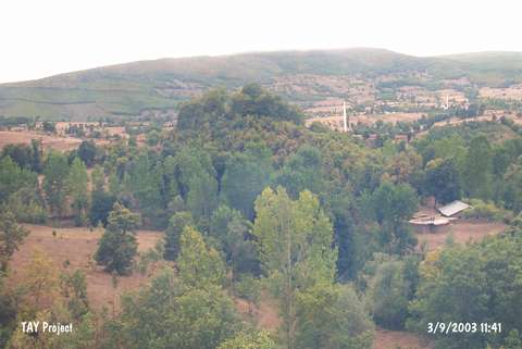
| Geography and Environment: |
| Destruction Details: The site has been damaged due to illicit diggings and contemporary settlement. There are pits on top and a house on western slope [TAYEx 3.9.2003]. |