|
©The Archaeological Settlements of Turkey - TAY Project
|
|
|
|
|
|
Dingilkalecik Tepe |
|
|
For site maps and drawings please click on the picture...  |
For photographs please click on the photo... 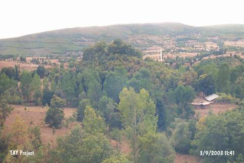 |
|
Type:
|
Slope Settlement |
|
Altitude:
|
445 m |
|
Region:
|
Black Sea |
|
Province:
|
Samsun |
|
District:
|
Kavak |
|
Village:
|
Ortaköy |
|
Investigation Method:
|
Survey |
|
Period:
|
|
|
|
|
 |
|
| The site lies 130 m west of Asarcik-Samsun road; northwest of Ilisu stream; immediate south of Kosaca stream; 300 m east of the village of Ortaköy; 8 km southeast of the district of Kavak in the province of Samsun. It was discovered by M. Özsait in 2002. It measures 150 m in diameter and has a height of 35 m from the plain level. Besides the previously known EBA and MBA finds; sherds indicating the existence of an Early Iron age settlement were found. |
| Location: |
| Geography and Environment: |
| History: |
| Research and Excavation: |
| Stratigraphy: |
| Small Finds: |
| Remains: |
| Interpretation and Dating: |