|
©The Archaeological Settlements of Turkey - TAY Project
|
|
|
|
|
|
Dingilkalecik Tepe |
|
|
For site maps and drawings please click on the picture...  |
For photographs please click on the photo... 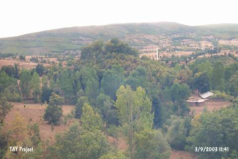 |
|
Type:
|
Slope Settlement |
|
Altitude:
|
445 m |
|
Region:
|
Black Sea |
|
Province:
|
Samsun |
|
District:
|
Kavak |
|
Village:
|
Ortaköy |
|
Investigation Method:
|
Survey |
|
Period:
|
Early Iron Age |
|
|
|
 |
|
| It lies 130 m west of the Asarcik-Samsun motorway to the northwest of the Ilisu Stream, 300 m east of Ortaköy, 8 km southwest of the kavak District in Samsun. A base diameter of 150 m and a height of 35 m above the plain level were measured during the survey conducted by M. Özsait in 2002. Sherds witnessing the Early Iron Age settlement were found on the surface in addition to the EBA and MBA settlements previously known. |
| Location: |
| Geography and Environment: |
| History: |
| Research and Excavation: |
| Stratigraphy: |
| Small Finds: |
| Remains: |
| Interpretation and Dating: |