| ©The Archaeological Settlements of Turkey - TAY Project | ||||||
|
|
||||||
Kinik Höyük |
||||||
|
|
||||||
| Ages | Maps | Photos | ||||
| EBA IA |
 |
 |
||||
|
|
||||||
|
Type:
|
Mound | |||||
|
Altitude:
|
1150 m | |||||
|
Diameter:
|
m- Direction: | |||||
|
|
||||||
|
Region:
|
Central Anatolia | |||||
|
Province:
|
Nigde | |||||
|
District:
|
Bor | |||||
|
Village:
|
Bayat | |||||
|
|
||||||
|
Destruction :
|
Contemporary Settlements - Highways, roads, bridges etc. | |||||
|
|
||||||
|
TAYEx:
|
Visited - 7/8/2002 | |||||
|
|
||||||
|
Registration State:
|
Registered For detailed registration information please refer to Turkish pages. | |||||
 |
||||||
| Location: It is located in Nigde Province, at the entrance of Altunhisar Valley on the skirt of Melendiz Mountains, in the northeast section of Konya Plain. |
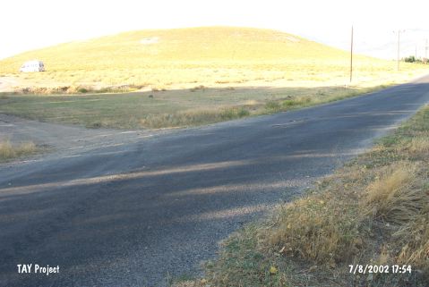
| Geography and Environment: It is located at the foot of Mount Melendiz. The site consists of 20 m high mound with a diameter of 180 m. It is set on a terrace covering roughly 300 square meters. |
| Destruction Details: Soil has been removed from the mound and it is divided in to two parts by the road [TAYEx 7.8.2002]. |