| ©The Archaeological Settlements of Turkey - TAY Project | ||||||
|
|
||||||
Yesilöz |
||||||
|
|
||||||
| Ages | Maps | Photos | ||||
| EBA IA |
 |
 |
||||
|
|
||||||
|
Type:
|
Mound | |||||
|
Altitude:
|
1270 m | |||||
|
Diameter:
|
145 m- Direction: NNE-SSW | |||||
|
|
||||||
|
Region:
|
Central Anatolia | |||||
|
Province:
|
Nevsehir | |||||
|
District:
|
Gülsehir | |||||
|
Village:
|
Yesilöz | |||||
|
|
||||||
|
Destruction :
|
Illicit Digging - Agriculture | |||||
|
|
||||||
|
TAYEx:
|
Visited - 27/7/2002 | |||||
|
|
||||||
|
Registration State:
|
Registered For detailed registration information please refer to Turkish pages. | |||||
 |
||||||
| Location: |
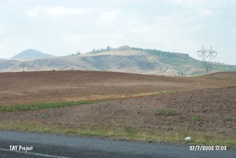
| Geography and Environment: |
| Destruction Details: The mound has been damaged due to agricultural activities and illicit diggings. There are pits on southwest and northwest slopes. The surroundings of the mound starting from the skirts are being cultivated. There is a cistern on northwest skirt [TAYEx 27.7.2002]. |