|
©The Archaeological Settlements of Turkey - TAY Project
|
|
|
|
|
|
Yesilöz |
|
|
For site maps and drawings please click on the picture...  |
For photographs please click on the photo... 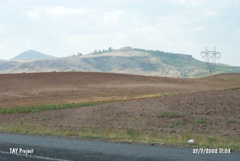 |
|
Type:
|
Mound |
|
Altitude:
|
1270 m |
|
Region:
|
Central Anatolia |
|
Province:
|
Nevsehir |
|
District:
|
Gülsehir |
|
Village:
|
Yesilöz |
|
Investigation Method:
|
Survey |
|
Period:
|
|
|
|
|
 |
|
| It is situated at Iliman Mevkii, 4.4 km northwest of the Yesilöz Village, northwest of the Gülsehir District, north-northwest of Nevsehir. It was named after the nearest village. It is accessible through the Yesilöz-Hacibektas motorway. It lies 2 km west of this motorway. Based on the evaluation of S.Y. Şenyurt, who made a surface collection in 1997 on the mound, which is 23 m high, the site had been uninterruptedly inhabited throughout the Neolithic, Chalcolithic, EBA, MBA, LBA, Iron Age, and Hellenistic-Roman Periods. The hilltop has conic form, measuring 35x25 m in dimensions. It resembles a tumulus, and the Neolithic-Chalcolithic Age sherds were mainly collected from the western terrace. It is one of the largest, and most important mounds of the region. It is listed among the registered archaeological sites by the Ministry of Culture and Tourism. |
| Location: |
| Geography and Environment: |
| History: |
| Research and Excavation: |
| Stratigraphy: |
| Small Finds: |
| Remains: |
| Interpretation and Dating: |