|
©The Archaeological Settlements of Turkey - TAY Project
|
|
|
|
|
|
Yesilöz |
|
|
For site maps and drawings please click on the picture...  |
For photographs please click on the photo... 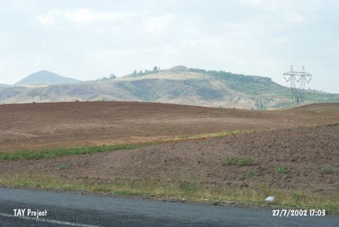 |
|
Type:
|
Mound |
|
Altitude:
|
1270 m |
|
Region:
|
Central Anatolia |
|
Province:
|
Nevsehir |
|
District:
|
Gülsehir |
|
Village:
|
Yesilöz |
|
Investigation Method:
|
Survey |
|
Period:
|
|
|
|
|
 |
|
| It is located at Iliman Mevkii; 4.4 km northwest of Yesilöz Village; northeast of Gülsehir District; north-northwest of Nevsehir Province. It was named after the nearest village. It can be easily reached through the Yesilöz-Hacibektas motorway. The mound lies 2 km far west of the motorway. A surface collection was carried out in 1997 by S.Y. Senyurt. The site had been inhabited more or less continuously from the Neolithic Age to the Hellenistic-Roman Periods. It is a conic mound. It measures 23 m in height and 35x25 in dimensions. It looks like a tumulus. Pottery of the Neolithic-Chalcolithic Ages usually came from the western terrace. It is one of the major settlements in the region. It takes place in the registered archaeological sites list prepared by Ministry of Culture and Tourism. |
| Location: |
| Geography and Environment: |
| History: |
| Research and Excavation: |
| Stratigraphy: |
| Small Finds: |
| Remains: |
| Interpretation and Dating: |