| ©The Archaeological Settlements of Turkey - TAY Project | ||||||
|
|
||||||
Yenibademli Höyük |
||||||
|
|
||||||
| Ages | Maps | Photos | ||||
| EBA |
 |
 |
||||
|
|
||||||
|
Type:
|
Mound | |||||
|
Altitude:
|
0 m | |||||
|
Diameter:
|
m- Direction: | |||||
|
|
||||||
|
Region:
|
Marmara | |||||
|
Province:
|
Çanakkale | |||||
|
District:
|
Gökçeada | |||||
|
Village:
|
Yenibademli | |||||
|
|
||||||
|
|
||||||
|
|
||||||
|
TAYEx:
|
Visited - 3/5/2008 | |||||
|
|
||||||
|
Registration State:
|
For detailed registration information please refer to Turkish pages. | |||||
 |
||||||
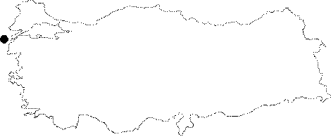
| Location: Gökçeada (Imroz) Island is 32 miles from the Çanakkale Harbor in the west of the Gelibolu Peninsula, in the Northern Aegean Sea. The mound lies 1.5 km far from the sea; 1 km southwest of the Yenibademli Village; some 1.7 km south-southwest of the Kaleköy settlement on the northern part of Gökçeada (Imroz) [Hüryilmaz 2001:map.2]. The mound is reached through an asphalt road running to Kaleköy, and can be observed from the road. |
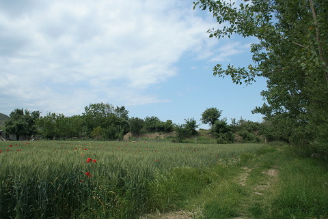
| Geography and Environment: The Büyük Dere (Ilissos Stream) supplying the water requirements of the inhabitants of the mound being the biggest running water of the island; fed by small streams coming from the high hills in the center of the island; flows near the western part of the mound. The palaeogeographical and geoarchaeological studies proved that the site used to locate at the end of a bay during the third millennium BC. on the south-southeastern shore [Hüryilmaz 2000:232] and the bay was getting nearer on the west. To the south of the ramp giving the access to the settlement; the bedrock was reached at 3 m depth at present. The narrow bay was filled with the alluvial of the stream. The mound is 18 m high above the sea level; 5 m high above the lowland next to it and measures 130x120 m in dimensions. The cultural deposit is of 3-5 m thick. |
| Destruction Details: Two pits made during military exercises were found before the excavation started in trench F10 north of the stone paved ramp that provides access into Yeni Bademli in 2007 [Hüryılmaz 2009:242]. |