| ©The Archaeological Settlements of Turkey - TAY Project | ||||||
|
|
||||||
Yazihüyük |
||||||
|
|
||||||
| Ages | Maps | Photos | ||||
| Chalcolithic EBA IA |
 |
 |
||||
|
|
||||||
|
Type:
|
Mound | |||||
|
Altitude:
|
1330 m | |||||
|
Diameter:
|
185 m- Direction: N-S | |||||
|
|
||||||
|
Region:
|
Central Anatolia | |||||
|
Province:
|
Nevsehir | |||||
|
District:
|
Derinkuyu | |||||
|
Village:
|
Yazihüyük | |||||
|
|
||||||
|
Destruction :
|
Contemporary Settlements | |||||
|
|
||||||
|
TAYEx:
|
Visited - 5/8/2002 | |||||
|
|
||||||
|
Registration State:
|
Registered For detailed registration information please refer to Turkish pages. | |||||
 |
||||||
| Location: |
| Geography and Environment: |
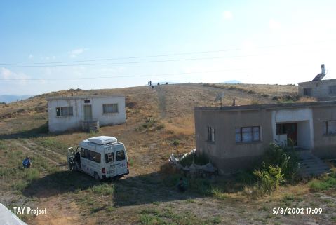
| Destruction Details: There are houses at the northeast; south and west parts of the mound. A pit of illicit digging with 1 m diameter observed on northeast part [TAYEx 5.8.2002]. |