|
©The Archaeological Settlements of Turkey - TAY Project
|
|
|
|
|
|
Yazihüyük |
|
|
For site maps and drawings please click on the picture...  |
For photographs please click on the photo... 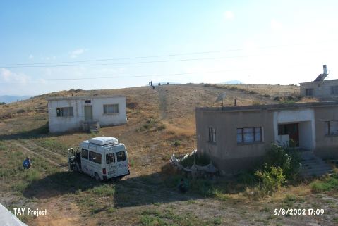 |
|
Type:
|
Mound |
|
Altitude:
|
1330 m |
|
Region:
|
Central Anatolia |
|
Province:
|
Nevsehir |
|
District:
|
Derinkuyu |
|
Village:
|
Yazihüyük |
|
Investigation Method:
|
Survey |
|
Period:
|
|
|
|
|
 |
|
| It lies in Yazihöyük Village; west-southwest of Derinkuyu District of Nevsehir Province. The mound is surrounded by contemporary village houses. It consist of two terraces extending in east-west direction; first one is 7 m high; 135 m long and the second terrace is 12 m high 95 m long. There are retouched obsidian cores and flakes and Chalcolithic; EBA; MBA; Iron Age; Hellenistic and Roman Period potsherds on the surface. It takes place in the registered archaeological sites list prepared by Ministry of Culture and Tourism. |
| Location: |
| Geography and Environment: |
| History: |
| Research and Excavation: |
| Stratigraphy: |
| Small Finds: |
| Remains: |
| Interpretation and Dating: |