| ©The Archaeological Settlements of Turkey - TAY Project | ||||||
|
|
||||||
Bahçecik |
||||||
|
|
||||||
| Ages | Maps | Photos | ||||
| EBA IA |
 |
 |
||||
|
|
||||||
|
Type:
|
Mound | |||||
|
Altitude:
|
1190 m | |||||
|
Diameter:
|
150 m- Direction: N-S | |||||
|
|
||||||
|
Region:
|
Eastern Anatolia | |||||
|
Province:
|
Elazig | |||||
|
District:
|
Karakoçan | |||||
|
Village:
|
Bahçecik | |||||
|
|
||||||
|
Destruction :
|
Illicit Digging - Agriculture - Attention | |||||
|
|
||||||
|
TAYEx:
|
Visited - 12/7/2003 | |||||
|
|
||||||
|
Registration State:
|
Registered For detailed registration information please refer to Turkish pages. | |||||
 |
||||||
| Location: |
| Geography and Environment: |
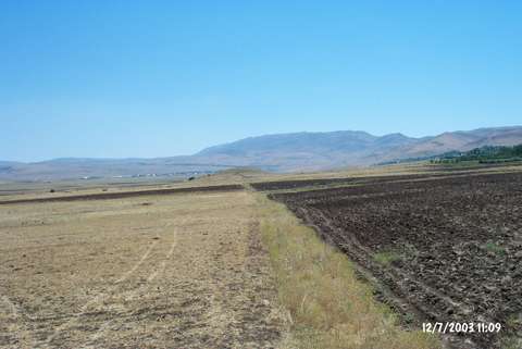
| Destruction Details: Illicit digging and agricultural activities have damaged the mound. There are pits measuring 2-2.5 m on top hill and northern section of the mound that is surrounded by fields [TAYEx 12.7.2003]. |