|
©The Archaeological Settlements of Turkey - TAY Project
|
|
|
|
|
|
Bahçecik |
|
|
For site maps and drawings please click on the picture...  |
For photographs please click on the photo... 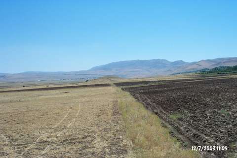 |
|
Type:
|
Mound |
|
Altitude:
|
1190 m |
|
Region:
|
Eastern Anatolia |
|
Province:
|
Elazig |
|
District:
|
Karakoçan |
|
Village:
|
Bahçecik |
|
Investigation Method:
|
Survey |
|
Period:
|
|
|
|
|
 |
|
| It lies 700 m north of Bahçecik Village; 2 km south of the Karakocan exit of the Bingöl-Elazig Highway; southeast of Karakocan District; northeast of Elazig Province. East of the mound is Altinoluk Village and west is Yeniköy Village. It was discovered during the Elazig-Bingöl survey conducted by V. Sevin in 1986. It measures 10-15 m in height and 70-80 m in diameter. Limited number of pottery dating from the EBA and incision decorated pottery of the Iron Age were collected from the surface. The mound is locally called as Gregaman. It takes place in the registered archaeological sites list prepared by Ministry of Culture and Tourism. |
| Location: |
| Geography and Environment: |
| History: |
| Research and Excavation: |
| Stratigraphy: |
| Small Finds: |
| Remains: |
| Interpretation and Dating: |