|
©The Archaeological Settlements of Turkey - TAY Project
|
|
|
|
|
|
Bahçecik |
|
|
For site maps and drawings please click on the picture...  |
For photographs please click on the photo... 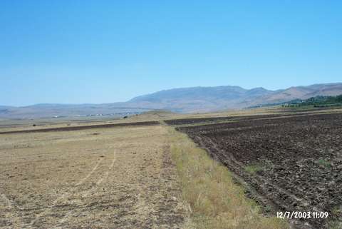 |
|
Type:
|
Mound |
|
Altitude:
|
1190 m |
|
Region:
|
Eastern Anatolia |
|
Province:
|
Elazig |
|
District:
|
Karakoçan |
|
Village:
|
Bahçecik |
|
Investigation Method:
|
Survey |
|
Period:
|
Middle Iron Age |
|
|
|
 |
|
| A new settlement was located at the Bahçecik Village of the Karakoçan District in Elazig so that a missing chain in the region was found out. The settlement of Bahçecik lies on a low hill, 500 m southwest of a mound, which was discovered earlier, and which yielded sherds dating to the 8th-7th century BC. This site had been occupied only during the Urartu Period. It is called "Bahçecik II". In this section, a central structure and some walls of its terraces have been preserved to some extent. Presence of nine rooms are remarkable in the central area. The rock signs and architectural structures in the vicinity indicate Urartian features. It takes place in the registered archaeological sites list prepared by Ministry of Culture and Tourism. |
| Location: |
| Geography and Environment: |
| History: |
| Research and Excavation: |
| Stratigraphy: |
| Small Finds: |
| Remains: |
| Interpretation and Dating: |