| ©The Archaeological Settlements of Turkey - TAY Project | ||||||
|
|
||||||
Tilbes Höyük |
||||||
|
|
||||||
| Ages | Maps | Photos | ||||
| Chalcolithic EBA IA 14C |
 |
 |
||||
|
|
||||||
|
Type:
|
Mound | |||||
|
Altitude:
|
360 m | |||||
|
Diameter:
|
m- Direction: | |||||
|
|
||||||
|
Region:
|
Southeastern Anatolia | |||||
|
Province:
|
Sanliurfa | |||||
|
District:
|
Birecik | |||||
|
Village:
|
Keskince | |||||
|
|
||||||
|
Destruction :
|
Dams | |||||
|
|
||||||
|
TAYEx:
|
Not visited - 16/8/2001 | |||||
|
|
||||||
|
Registration State:
|
Registered For detailed registration information please refer to Turkish pages. | |||||
 |
||||||
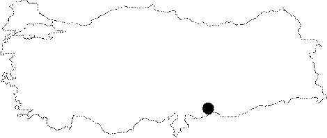
| Location: It was located 2 km north-northeast of Keskince (Tilmusa) Village on the eastern bank of the Euphrates; about 22 km northwest of the Birecik District; west of the Sanliurfa Province. Local meaning of Tilbes is the "Last Hill". |
| Geography and Environment: It was a conical mound located near the Euphrates measuring 12 m in height above the river bank and 110x100 m in dimensions. The cultural deposit was informed to be of 14.5 m thick. The slopes were like stepped terraces; and the western slope facing the Euphrates was steeper than the others. The Euphrates was flowing through a wide basin right below the mound; therefore it can be suggested that this site was a pathway for pedestrians. It was submerged by the Birecik Dam. |
| Destruction Details: The site is flooded by dam reservoir today [TAYEx 16.8.2001]. |