| ©The Archaeological Settlements of Turkey - TAY Project | ||||||
|
|
||||||
Tepecik / Makaraz Tepe |
||||||
|
|
||||||
| Ages | Maps | Photos | ||||
| Neolithic Chalcolithic EBA IA 14C |
 |
 |
||||
|
|
||||||
|
Type:
|
Mound | |||||
|
Altitude:
|
890 m | |||||
|
Diameter:
|
m- Direction: | |||||
|
|
||||||
|
Region:
|
Eastern Anatolia | |||||
|
Province:
|
Elazig | |||||
|
District:
|
Merkez | |||||
|
Village:
|
Tepecik | |||||
|
|
||||||
|
Destruction :
|
Dams | |||||
|
|
||||||
|
TAYEx:
|
Not visited - 15/8/2003 | |||||
|
|
||||||
|
Registration State:
|
For detailed registration information please refer to Turkish pages. | |||||
 |
||||||
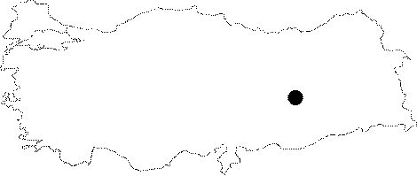
| Location: This site lies approximately 31 km east of the city of Elazig; immediately southwest of the village of Altinova; now flooded by the Keban Dam Lake. The survey code of the site is O 54 / 2. |
| Geography and Environment: Tepecik Höyük; which lies southeast of Altinova is also known as Makaraz Tepe. In many publications; the site is referred to as Tepecik. It is a middle-sized terraced mound; 16-17 m high; with a 200 m diameter. Heringet Stream is believed to have meandered by the mound. Before the land was flooded by the dam lake; this stream fed the Altinova Plain (also known as Ulu Ova). The spring southeast of the site must have supplied the inhabitants of the site with water. |
| Destruction Details: The mound is flooded by dam reservoir [TAYEx 15.8.2003]. |